Curate your classroom with our iOS app
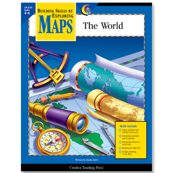
Building Skills by Exploring Maps
Maps hold the promise of an adventure. And children really want to know how to read them. At the same time, they still need a lot of practice with the basic map skills of using latitude and longitude, locating places on a grid, estimating distances using scale, using indexes, and understanding common map symbols. This series uses age-appropriate maps to provide opportunities to practice these skills. Background information at the top of each page provides either more information about a map skill or interesting facts about the subject of the map.
The wonderful thing about teaching students map skills is that they really want to know how to read maps. To students maps are keys to unknown places. Maps hold the promise of an adventure.
Intermediate-grade students do not have a lot of experience reading the story behind historical maps. They assume north is straight up. They do not like a lot of extra detail in their maps The resources and activities in Maps: The World provide an excellent bridge to a much deeper understanding of map reading by eliminating extra details-but not so many that the maps lose all context. This particular collection also provides students with practice in reading the kinds of maps they will encounter in their nonfiction reading in their travels.
The social studies standards addressed in this book include the following:
Encourage students to begin to see the historical stories behind the maps. If they spend enough time with the maps and activity sheets, they will better retain the names and locations of the places they read about or hear about in the news. Conveniently, the skills covered in Maps: The World will also transfer well to a standardized-testing situation.
| Author | Alaska Hults |
| Fiction/Nonfiction | Nonfiction |
| Weight | 5.0 oz |
| Pages | 48 |


